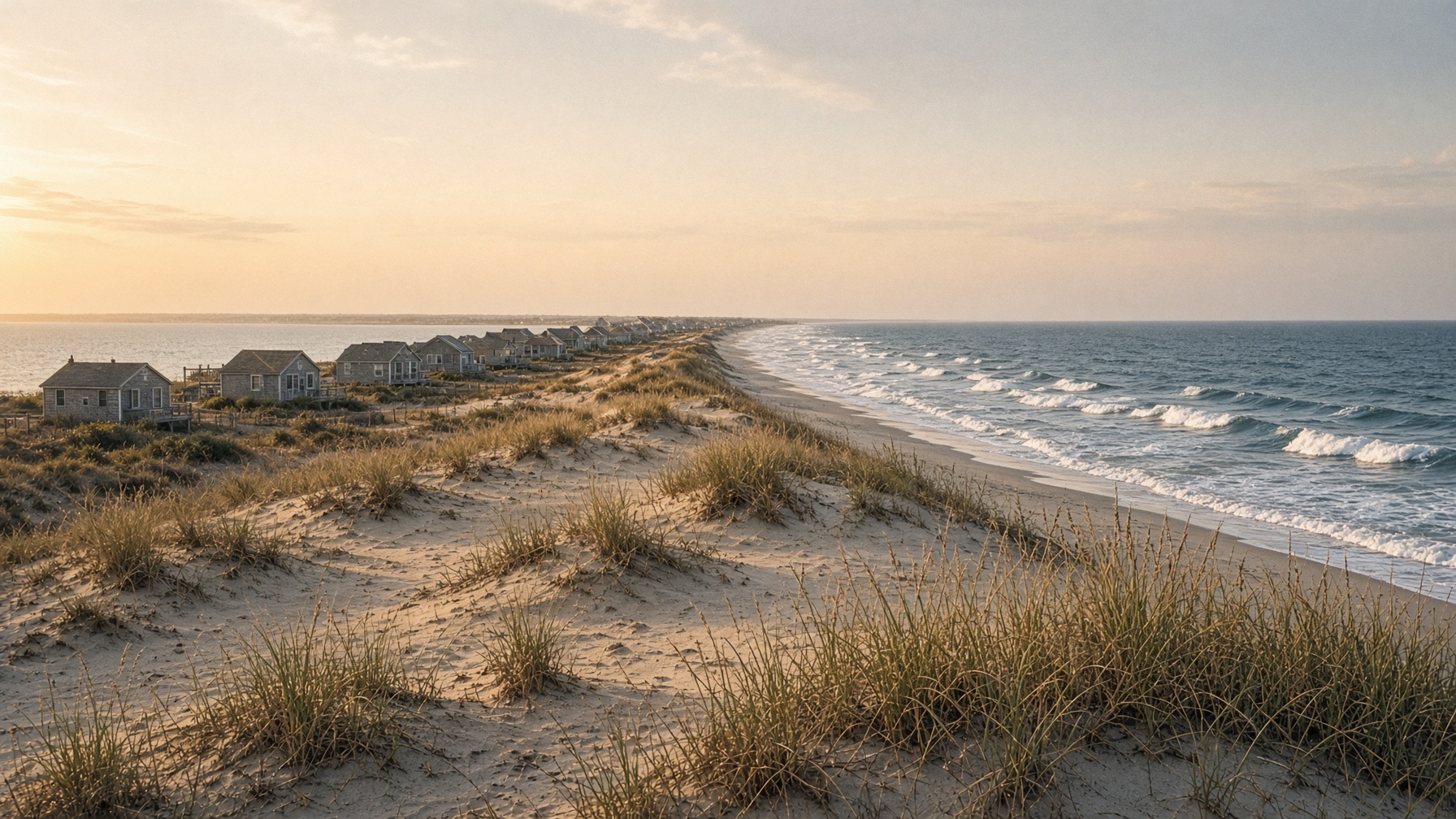
FireIs.land · Great South Bay · Atlantic Ocean
Fire Island
A field guide to New York’s car-free barrier island — seventeen communities, a holly forest, and thirty-two miles of sand.
Feature · Belong
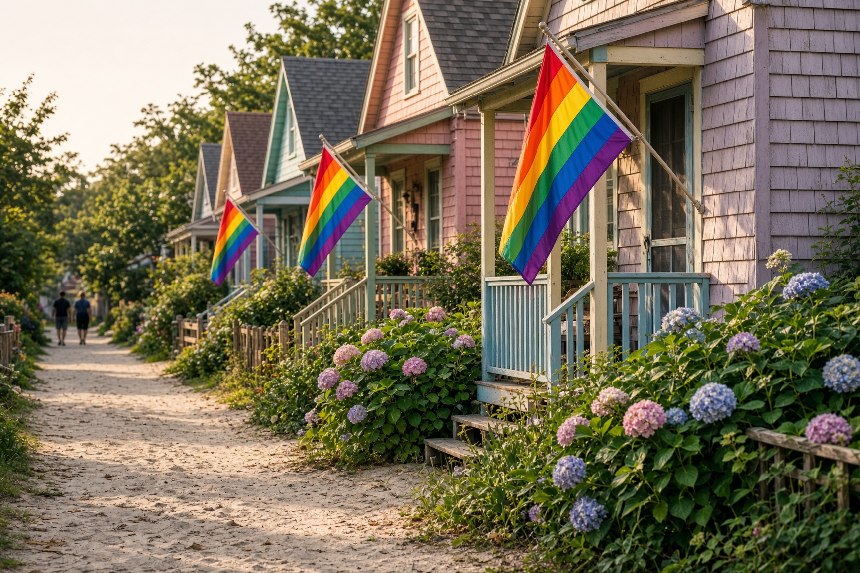
Come as you are.
Fire Island is a working model of acceptance — live as you want, without judgment, whoever you are.
Feature · How we live
You’ve never had choice. Welcome.
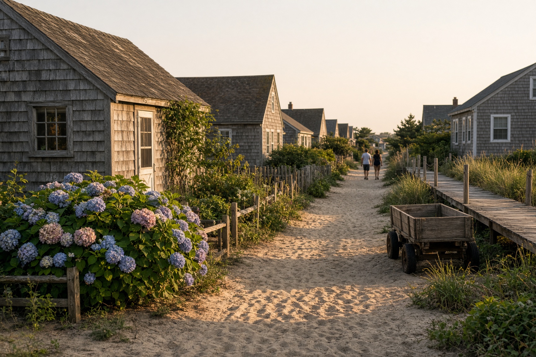
Seventeen communities. Small enough to know you if you want to be known, and the respect of privacy to those who prefer to quietly weave the fabric of their own experience.
The model
A scalable kit for living together
Harmonic integration is not blending until nobody is distinct. It is different lives sharing a walk, a dock, a storm — without making anyone smaller. How we live is the proof: acceptance as a quality of life, not a slogan.
32
miles long
17
car-free communities
0
cars in the middle
182
steps to the light
Nights · tickets · calendar
Upcoming events
Descriptions, ticket links, and an importable calendar — one event or the whole season.
Saturday, October 31Sat, Oct 31, 9:00 PM
Halloween in the GroveThe Ice Palace · Cherry Grove
The last ferry of the costume year. Walks, the Palace, and a town that treats Halloween as a civic holiday — not a theme night.
Tickets when posted
Use this week
Boats, shops, beds, classifieds
Civic
Public works & safety
Village notices, volunteer fire, the Seashore — 911, then the posted board.
Move
Be Active
In season and out. Walk, swim, climb — and support the community when the boats get quiet.
Scale
The model
Community improvement and harmonic integration — a playbook you can take home.
Acceptance
Belong
A model community: live as you are, without judgment.
Schedules
Ferry boards
Next boats from Bay Shore, Sayville, and Patchogue. Private charters too.
Businesses
Local directory
Restaurants, markets, hardware, contractors, and the wagon you call.
Lodging
Accommodations
Inns, guesthouses, campground, harbor rooms — by town.
Classifieds
Rentals & sales
Weekly by owner, and houses on the market with broker phones.
Community
Message board
Rides from the dock, lost & found, porch giveaways, house notes.
Nights
Events & tickets
Ice Palace, pre-sales, and a bell when a deal is still cheap.
The strip
A sandbar with a social life
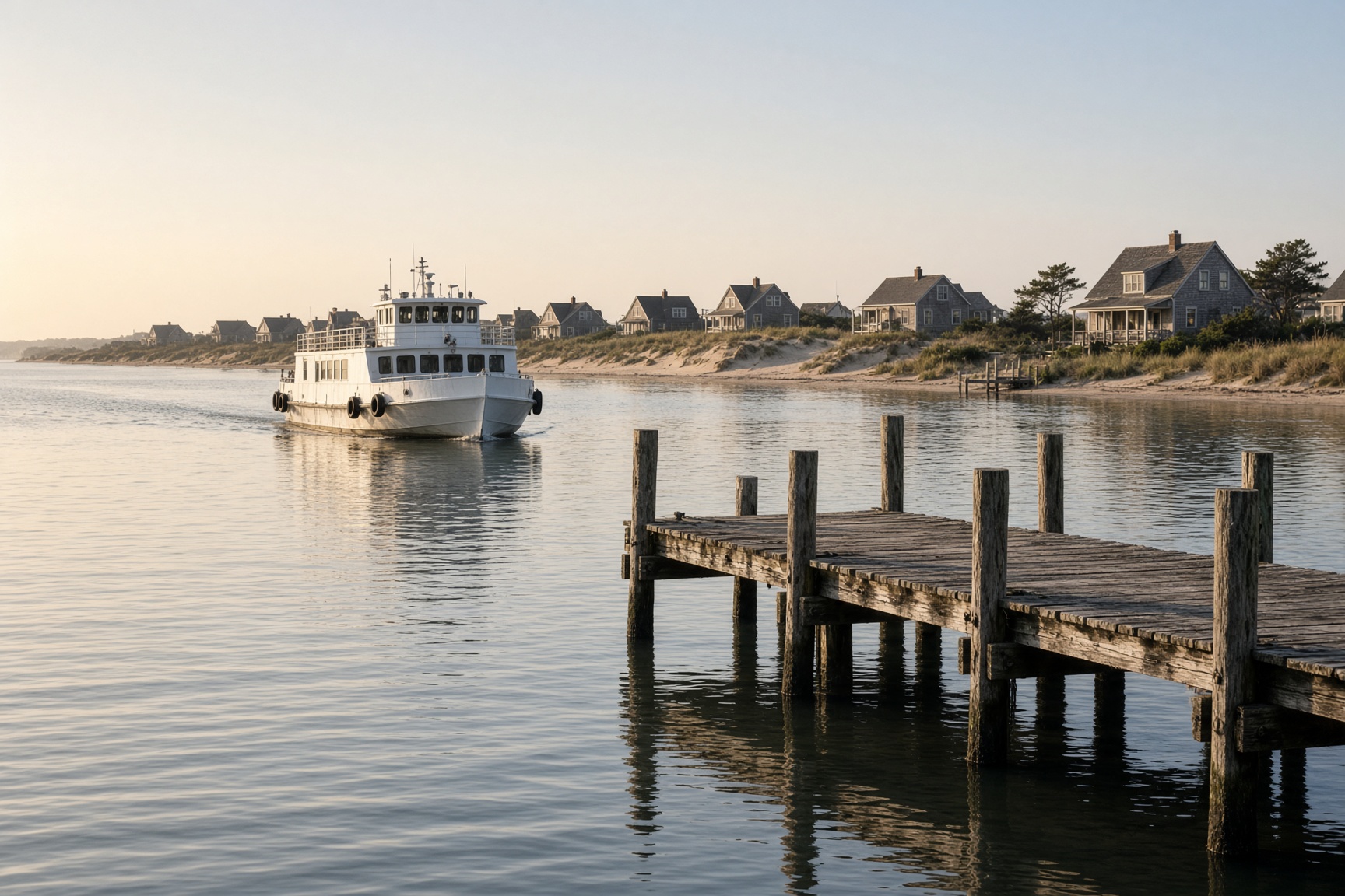
Fire Island sits off Long Island’s south shore, a few hundred yards wide and half a morning long. You reach it by ferry from Bay Shore, Sayville, or Patchogue — or you park at Robert Moses and walk. Between the two car parks there is no road. Luggage moves by wagon. Towns are a beach walk apart. Deer have the right of way.
West
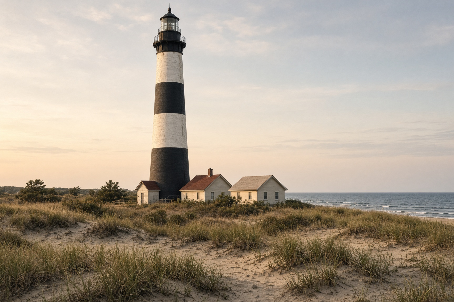
The lighthouse
1858. Black and white bands. One hundred eighty-two steps and the whole island laid out like a chart.
Center
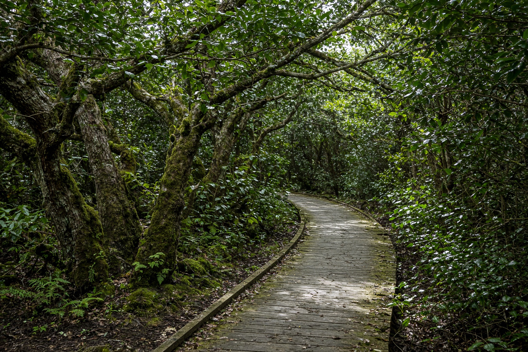
Sunken Forest
A maritime holly wood hidden behind the dunes at Sailors Haven. Rare, low, and older than the cottages.
Grove & Pines
The first gay town
Cherry Grove and the Pines, a ten-minute dune path apart. Ice Palace, tea dance, and a civic color of rainbow.
Late August
Still high summer
Ferries run full schedules. The Ice Palace still has a week of headline nights. After Labor Day the island thins out and the light goes longer on the sand.